 vesseltracker.com
Find the position of the vessel METRO MARITIM II on the map. The latter are known coordinates and path.
marine traffic ship tracker show on live map
The current position of vessel METRO MARITIM II is -3.6747416666667 lat / 128.15811166667 lng. Updated: 2025-10-07 12:21:46 UTCCurrently sailing under the flag of Indonesia
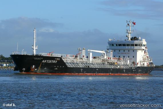
METRO MARITIM II built in 2007 year
Deadweight:
9040 tDetails:
Last coordinates of the vessel:
UTC, -3.6743216666667, 128.15817666667, course: -1, speed: 0UTC, -3.6740783333333, 128.15802666667, course: -1, speed: 0
UTC, -3.6745383333333, 128.15811666667, course: -1, speed: 0
2025-10-07 12:21:46 UTC, -3.6747416666667, 128.15811166667, course: -1, speed: 0.1