 vesseltracker.com
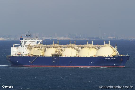
Vessel PRIMA CARRIER IMO: 9264910, MMSI: 525301553 LNG Tanker
UTC, 5.22153, 97.10182, course: 296, speed: 0.1
UTC, 5.22153, 97.10183, course: 295, speed: 0
2026-02-01 08:33:21 UTC, 5.30297, 97.13336, course: 21, speed: 10.7
Live AIS position:
UTC. Near Krueng Geukueh),
updated 2026-02-01 08:33:21 UTC.
Find the position of the vessel PRIMA CARRIER on the map. The latter are known coordinates and path.
marine traffic ship tracker show on live map
The current position of vessel PRIMA CARRIER is 5.30297 lat / 97.13336 lng. Updated: 2026-02-01 08:33:21 UTCCurrently sailing under the flag of Indonesia
PRIMA CARRIER built in 2006 year
Deadweight:
72571 tDetails:
Last coordinates of the vessel:
UTC, 5.22153, 97.10182, course: 295, speed: 0UTC, 5.22153, 97.10182, course: 296, speed: 0.1
UTC, 5.22153, 97.10183, course: 295, speed: 0
2026-02-01 08:33:21 UTC, 5.30297, 97.13336, course: 21, speed: 10.7