 vesseltracker.com
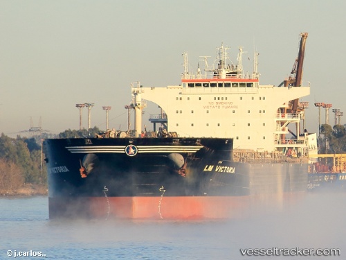
Vessel GOLDEN ROSE IMO: 9457866, MMSI: 525401543 Bulk Carrier
UTC, 0.77224, 117.91083, course: 317, speed: 0.1
UTC, 0.77250, 117.91112, course: 301, speed: 0
2026-01-28 07:11:22 UTC, 0.77232, 117.91085, course: 305, speed: 0.1
Live AIS position:
UTC. Near Kaliorang),
updated 2026-01-28 07:11:22 UTC.
Find the position of the vessel GOLDEN ROSE on the map. The latter are known coordinates and path.
marine traffic ship tracker show on live map
The current position of vessel GOLDEN ROSE is 0.77232 lat / 117.91085 lng. Updated: 2026-01-28 07:11:22 UTCCurrently sailing under the flag of Indonesia
GOLDEN ROSE built in 2010 year
Deadweight:
93318 tDetails:
Last coordinates of the vessel:
UTC, 0.77203, 117.91077, course: 318, speed: 0UTC, 0.77224, 117.91083, course: 317, speed: 0.1
UTC, 0.77250, 117.91112, course: 301, speed: 0
2026-01-28 07:11:22 UTC, 0.77232, 117.91085, course: 305, speed: 0.1