 vesseltracker.com
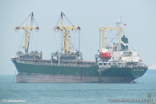
Find the position of the vessel Mv.tunas Baru on the map. The latter are known coordinates and path.
marine traffic ship tracker show on live map
The current position of vessel Mv.tunas Baru is 3.8741033333333 lat / 98.728021666667 lng. Updated: 2025-10-14 15:39:06 UTCDetails:
Last coordinates of the vessel:
UTC, 3.8741033333333, 98.728021666667, course: -1, speed: 0.1UTC, 3.8741033333333, 98.728021666667, course: -1, speed: 0.1
UTC, 3.8741033333333, 98.728021666667, course: -1, speed: 0.1
2025-10-14 15:39:06 UTC, 3.8741033333333, 98.728021666667, course: -1, speed: 0.1
Track of the vessel in the last 14 days
The ship also appears on the maps: