 vesseltracker.com
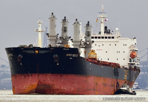
Vessel MANALAGI TARA IMO: 9330422, MMSI: 525700046 Bulk Carrier
UTC, -5.88933, 106.12090, course: -1, speed: 0.1
UTC, -5.89014, 106.12304, course: -1, speed: 0.2
2026-02-17 14:06:59 UTC, -5.89041, 106.12251, course: -1, speed: 0.2
Live AIS position:
UTC. Near SURALAYA),
updated 2026-02-17 14:06:59 UTC.
Find the position of the vessel MANALAGI TARA on the map. The latter are known coordinates and path.
marine traffic ship tracker show on live map
The current position of vessel MANALAGI TARA is -5.89041 lat / 106.12251 lng. Updated: 2026-02-17 14:06:59 UTCCurrently sailing under the flag of Indonesia
MANALAGI TARA built in 2005 year
Deadweight:
53626 tDetails:
Last coordinates of the vessel:
UTC, -5.88926, 106.12078, course: -1, speed: 0.1UTC, -5.88933, 106.12090, course: -1, speed: 0.1
UTC, -5.89014, 106.12304, course: -1, speed: 0.2
2026-02-17 14:06:59 UTC, -5.89041, 106.12251, course: -1, speed: 0.2