 vesseltracker.com
Find the position of the vessel ROYAL PEACE on the map. The latter are known coordinates and path.
marine traffic ship tracker show on live map
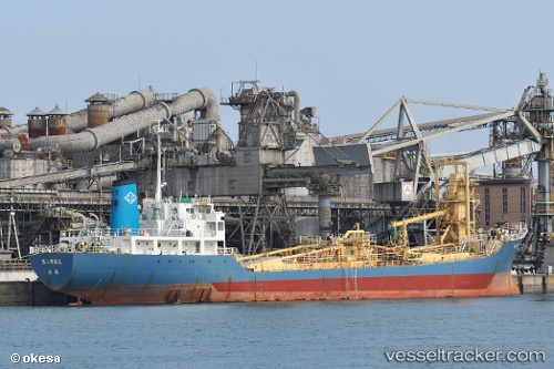
The current position of vessel ROYAL PEACE is -1.15449 lat / 116.77550 lng. Updated: 2025-11-18 10:56:56 UTCCurrently sailing under the flag of Indonesia
ROYAL PEACE built in 1988 year
Deadweight:
6725 tDetails:
Last coordinates of the vessel:
UTC, -1.15451, 116.77549, course: 164, speed: 0UTC, -1.15449, 116.77548, course: 163, speed: 0
UTC, -1.15450, 116.77550, course: 163, speed: 0
2025-11-18 10:56:56 UTC, -1.15449, 116.77550, course: 163, speed: 0