 vesseltracker.com
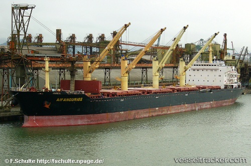
Vessel MANALAGI ENZI IMO: 9217929, MMSI: 525800691 Bulk Carrier
UTC, -7.72571, 109.11790, course: 235, speed: 0.2
UTC, -7.72611, 109.11785, course: 255, speed: 0.2
2026-03-11 18:11:08 UTC, -7.72600, 109.11804, course: 249, speed: 0.3
Live Vessel MANALAGI ENZI Analytics (details, animations, etc.)
Live AIS position: UTC. Near CILACAP), updated 2026-03-11 18:11:08 UTC.Find the position of the vessel MANALAGI ENZI on the map. The latter are known coordinates and path.
marine traffic ship tracker show on live map
The current position of vessel MANALAGI ENZI is -7.72600 lat / 109.11804 lng. Updated: 2026-03-11 18:11:08 UTCCurrently sailing under the flag of Indonesia
MANALAGI ENZI built in 2002 year
Deadweight:
50220 tDetails:
Last coordinates of the vessel:
UTC, -7.72554, 109.11778, course: 229, speed: 0.2UTC, -7.72571, 109.11790, course: 235, speed: 0.2
UTC, -7.72611, 109.11785, course: 255, speed: 0.2
2026-03-11 18:11:08 UTC, -7.72600, 109.11804, course: 249, speed: 0.3