 vesseltracker.com
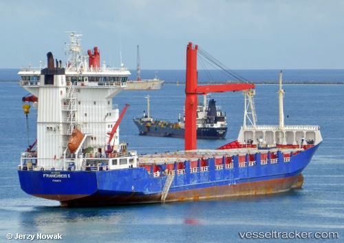
Vessel Mtt Tanjung Manis IMO: 9165449, MMSI: 533130646 Container Ship
UTC, 1.20179, 103.78776, course: 35, speed: 14.7
2026-02-04 09:29:46 UTC, 1.20179, 103.78776, course: 35, speed: 14.7
Live AIS position:
UTC. Near BUKOM ISLAND),
updated 2026-02-04 09:29:46 UTC.
Find the position of the vessel Mtt Tanjung Manis on the map. The latter are known coordinates and path.
marine traffic ship tracker show on live map
The current position of vessel Mtt Tanjung Manis is 1.20179 lat / 103.78776 lng. Updated: 2026-02-04 09:29:46 UTCDetails:
Last coordinates of the vessel:
UTC, 1.20179, 103.78776, course: 35, speed: 14.7UTC, 1.20179, 103.78776, course: 35, speed: 14.7
2026-02-04 09:29:46 UTC, 1.20179, 103.78776, course: 35, speed: 14.7