 vesseltracker.com
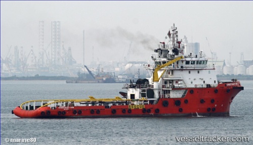
Vessel 'BRIDGEWATER 132' IMO: 9555424, MMSI: 533131042
UTC, 1.29913, 103.75717, course: 227, speed: 0
UTC, 1.29916, 103.75717, course: 227, speed: 0
2026-01-30 06:19:54 UTC, 1.29919, 103.75717, course: 227, speed: 0
Live AIS position:
UTC. Near PASIR PANJANG Terminal),
updated 2026-01-30 06:19:54 UTC.
Find the position of the vessel 'BRIDGEWATER 132' on the map. The latter are known coordinates and path.
marine traffic ship tracker show on live map
The current position of vessel 'BRIDGEWATER 132' is 1.29919 lat / 103.75717 lng. Updated: 2026-01-30 06:19:54 UTCDetails:
Last coordinates of the vessel:
UTC, 1.29915, 103.75715, course: 227, speed: 0UTC, 1.29913, 103.75717, course: 227, speed: 0
UTC, 1.29916, 103.75717, course: 227, speed: 0
2026-01-30 06:19:54 UTC, 1.29919, 103.75717, course: 227, speed: 0