 vesseltracker.com
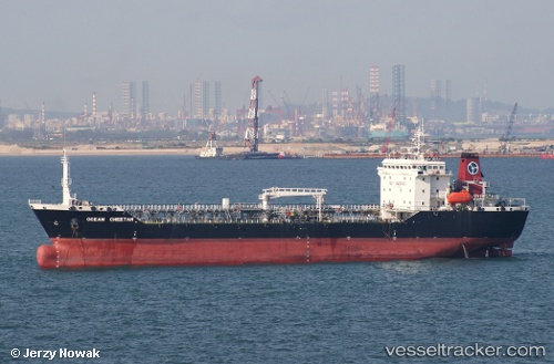
Vessel 'MK ENERGY DUA' IMO: 9075400, MMSI: 533150061
UTC, 3.07746, 101.34364, course: 142, speed: 0
UTC, 3.07500, 101.34500, course: -1, speed: 0
2026-01-18 20:39:24 UTC, 3.07574, 101.34535, course: 337, speed: 0.1
Live AIS position:
UTC. Near Kapar),
updated 2026-01-18 20:39:24 UTC.
Find the position of the vessel 'MK ENERGY DUA' on the map. The latter are known coordinates and path.
marine traffic ship tracker show on live map
The current position of vessel 'MK ENERGY DUA' is 3.07574 lat / 101.34535 lng. Updated: 2026-01-18 20:39:24 UTCDetails:
Last coordinates of the vessel:
UTC, 3.07773, 101.34367, course: 151, speed: 0UTC, 3.07746, 101.34364, course: 142, speed: 0
UTC, 3.07500, 101.34500, course: -1, speed: 0
2026-01-18 20:39:24 UTC, 3.07574, 101.34535, course: 337, speed: 0.1