 vesseltracker.com
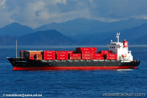
Vessel Danum 171 IMO: 9159086, MMSI: 533170531 Container Ship
UTC, 3.41158, 105.54864, course: 23, speed: 14.4
UTC, 4.02448, 105.85367, course: 22, speed: 13.7
2026-01-29 03:55:22 UTC, 4.36060, 106.01788, course: 37, speed: 13.5
Live AIS position:
UTC. 17 nm NW of Belanak Terminal),
updated 2026-01-29 03:55:22 UTC.
Find the position of the vessel Danum 171 on the map. The latter are known coordinates and path.
marine traffic ship tracker show on live map
The current position of vessel Danum 171 is 4.36060 lat / 106.01788 lng. Updated: 2026-01-29 03:55:22 UTCDetails:
Last coordinates of the vessel:
UTC, 3.13332, 105.41376, course: 25, speed: 14.3UTC, 3.41158, 105.54864, course: 23, speed: 14.4
UTC, 4.02448, 105.85367, course: 22, speed: 13.7
2026-01-29 03:55:22 UTC, 4.36060, 106.01788, course: 37, speed: 13.5