 vesseltracker.com
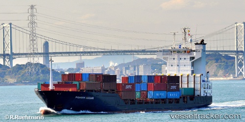
Vessel Harbour Star IMO: 9242584, MMSI: 533170554 Container Ship
UTC, 4.24317, 112.88117, course: -1, speed: 16.7
UTC, 4.24317, 112.88117, course: -1, speed: 16.7
2026-02-27 23:36:42 UTC, 4.24317, 112.88117, course: -1, speed: 16.7
Live AIS position:
UTC. 48 nm NW of Samalaju),
updated 2026-02-27 23:36:42 UTC.
Find the position of the vessel Harbour Star on the map. The latter are known coordinates and path.
marine traffic ship tracker show on live map
The current position of vessel Harbour Star is 4.24317 lat / 112.88117 lng. Updated: 2026-02-27 23:36:42 UTCDetails:
Last coordinates of the vessel:
UTC, 3.64733, 112.87700, course: -1, speed: 16.7UTC, 4.24317, 112.88117, course: -1, speed: 16.7
UTC, 4.24317, 112.88117, course: -1, speed: 16.7
2026-02-27 23:36:42 UTC, 4.24317, 112.88117, course: -1, speed: 16.7