 vesseltracker.com
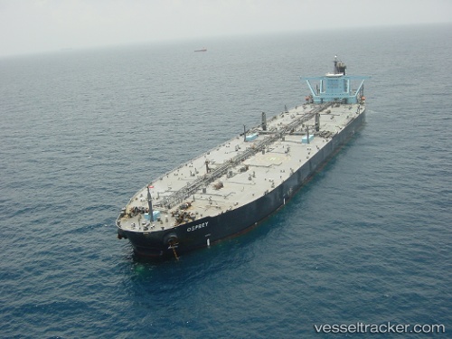
Find the position of the vessel Armada Olombendo on the map. The latter are known coordinates and path.
marine traffic ship tracker show on live map
The current position of vessel Armada Olombendo is -6.068425 lat / 11.358461666667 lng. Updated: 2025-10-09 06:22:20 UTCCurrently sailing under the flag of Marshall Is
Armada Olombendo built in 1999 year
Deadweight:
301963 tDetails:
Last coordinates of the vessel:
UTC, -6.0684666666667, 11.358001666667, course: 175, speed: 0.2UTC, -6.0686783333333, 11.358916666667, course: 195, speed: 0.2
UTC, -6.0690633333333, 11.359731666667, course: 214, speed: 0.2
2025-10-09 06:22:20 UTC, -6.068425, 11.358461666667, course: 185, speed: 0.2