 vesseltracker.com
Find the position of the vessel Great Eastern on the map. The latter are known coordinates and path.
marine traffic ship tracker show on live map
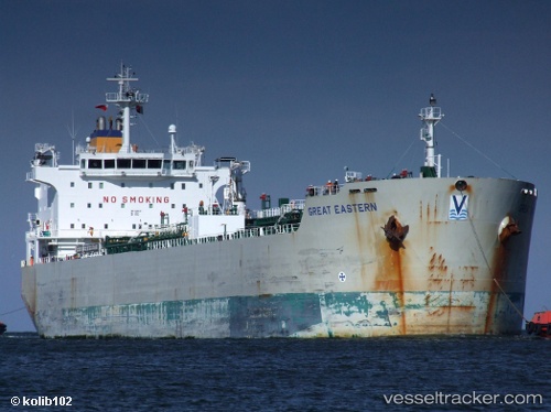
The current position of vessel Great Eastern is 40.71401 lat / 29.46425 lng. Updated: 2025-10-09 06:29:43 UTCCurrently sailing under the flag of Marshall Is
Great Eastern built in 2005 year
Deadweight:
37515 tDetails:
Last coordinates of the vessel:
UTC, 40.71394, 29.464256666667, course: 305, speed: 0UTC, 40.713973333333, 29.464276666667, course: 306, speed: 0
UTC, 40.713973333333, 29.464246666667, course: 306, speed: 0
2025-10-09 06:29:43 UTC, 40.71401, 29.46425, course: 306, speed: 0