 vesseltracker.com
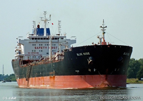
Find the position of the vessel Blue Rose on the map. The latter are known coordinates and path.
marine traffic ship tracker show on live map
The current position of vessel Blue Rose is 40.7645 lat / 29.5269 lng. Updated: 2024-05-06 17:13:08 UTCCurrently sailing under the flag of Marshall Is
Blue Rose built in 2007 year
Port of registry:
Majuro (coral atoll, capital of the Marshall Islands)Speed:
15 knotDeadweight:
38402 tPayload_mass:
38402 tonneGross tonnage:
24112Service entry:
2007-01-01T00:00:00ZManufacturer:
Guangzhou Shipyard International (Chinese shipbuilding company)Details:
Last coordinates of the vessel:
UTC, 40.7645, 29.5269, course: 0, speed: 0UTC, 40.7645, 29.5269, course: 0, speed: 0
UTC, 40.7645, 29.5269, course: 0, speed: 0
2024-05-06 17:13:08 UTC, 40.7645, 29.5269, course: 1, speed: 0