 vesseltracker.com
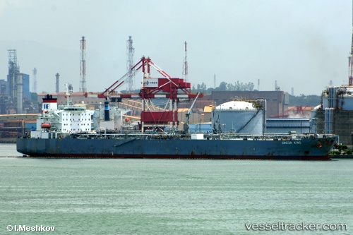
Find the position of the vessel Okyroe on the map. The latter are known coordinates and path.
marine traffic ship tracker show on live map
The current position of vessel Okyroe is 35.8801 lat / 14.8403 lng. Updated: 2024-05-05 08:36:17 UTCPort of registry:
Majuro (coral atoll, capital of the Marshall Islands)Speed:
14.5 knotService entry:
2004-01-01T00:00:00ZManufacturer:
Hyundai Heavy Industries (company)
Details:
Last coordinates of the vessel:
UTC, 35.8804, 14.8422, course: 317, speed: 0UTC, 35.8801, 14.8409, course: 342, speed: 0
UTC, 35.88, 14.8408, course: 348, speed: 0
2024-05-05 08:36:17 UTC, 35.8801, 14.8403, course: 354, speed: 0