 vesseltracker.com
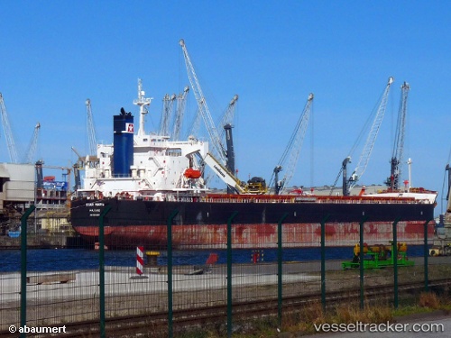
Vessel Star Maria IMO: 9401489, MMSI: 538002639 Bulk Carrier
UTC, 28.12339, 50.85301, course: 141, speed: 10.5
UTC, 27.97172, 50.98328, course: 144, speed: 10.4
2026-03-02 05:34:12 UTC, 27.71248, 51.20632, course: 143, speed: 10.3
Live AIS position:
UTC. 39 nm W of Dayyer),
updated 2026-03-02 05:34:12 UTC.
Find the position of the vessel Star Maria on the map. The latter are known coordinates and path.
marine traffic ship tracker show on live map
The current position of vessel Star Maria is 27.71248 lat / 51.20632 lng. Updated: 2026-03-02 05:34:12 UTCDetails:
Last coordinates of the vessel:
UTC, 28.45131, 50.57148, course: 140, speed: 11.1UTC, 28.12339, 50.85301, course: 141, speed: 10.5
UTC, 27.97172, 50.98328, course: 144, speed: 10.4
2026-03-02 05:34:12 UTC, 27.71248, 51.20632, course: 143, speed: 10.3