 vesseltracker.com
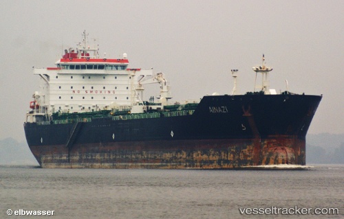
Find the position of the vessel Ainazi on the map. The latter are known coordinates and path.
marine traffic ship tracker show on live map
The current position of vessel Ainazi is 5.58259 lat / 0.046365 lng. Updated: 2025-06-30 23:05:34 UTCPort of registry:
Majuro (capital of the Marshall Islands)Speed:
10.5 knotPayload_mass:
52606 tonneGross tonnage:
30641Service entry:
2008-01-01T00:00:00ZManufacturer:
3. Maj (Croatian shipyard)
Details:
Last coordinates of the vessel:
UTC, 5.58267, 0.0462617, course: 173, speed: 0.1UTC, 5.58263, 0.0462133, course: 171, speed: 0.2
UTC, 5.58261, 0.0461067, course: 166, speed: 0.4
2025-06-30 23:05:34 UTC, 5.58259, 0.046365, course: 176, speed: 0.2
The ship also appears on the maps: