 vesseltracker.com
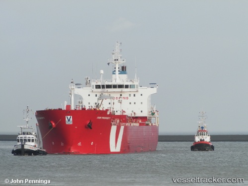
Vessel Iver Prosperity IMO: 9351921, MMSI: 538002784 Chemical Oil Products Tanker
UTC, 42.38506, -71.02411, course: 235, speed: 0.1
UTC, 42.38506, -71.02411, course: 235, speed: 0.1
2026-02-26 23:56:31 UTC, 42.33416, -70.99767, course: 115, speed: 11.8
Live AIS position:
UTC. Near Boston),
updated 2026-02-26 23:56:31 UTC.
Find the position of the vessel Iver Prosperity on the map. The latter are known coordinates and path.
marine traffic ship tracker show on live map
The current position of vessel Iver Prosperity is 42.33416 lat / -70.99767 lng. Updated: 2026-02-26 23:56:31 UTCDetails:
Last coordinates of the vessel:
UTC, 42.38506, -71.02411, course: 235, speed: 0.1UTC, 42.38506, -71.02411, course: 235, speed: 0.1
UTC, 42.38506, -71.02411, course: 235, speed: 0.1
2026-02-26 23:56:31 UTC, 42.33416, -70.99767, course: 115, speed: 11.8