 vesseltracker.com
Live AIS position:
26.01302° N, 51.90379° E UTC. 16 nm E of RAS LAFFAN),
updated 2025-11-19 18:25:45 UTC.
Find the position of the vessel Zarga on the map. The latter are known coordinates and path.
marine traffic ship tracker show on live map
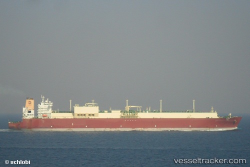
The current position of vessel Zarga is 26.01302 lat / 51.90379 lng. Updated: 2025-11-19 18:25:45 UTCCurrently sailing under the flag of Marshall Is
Zarga built in 2010 year
Deadweight:
130211 tDetails:
Last coordinates of the vessel:
UTC, 25.93354, 51.61727, course: 126, speed: 0UTC, 25.92090, 51.66898, course: 92, speed: 9.6
UTC, 25.94895, 51.73400, course: 64, speed: 14
2025-11-19 18:25:45 UTC, 26.01302, 51.90379, course: 71, speed: 15.8
Track of the vessel in the last 14 days
The ship also appears on the maps: