 vesseltracker.com
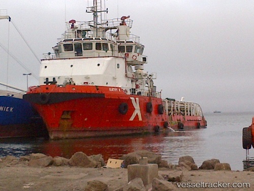
Vessel Kathy K IMO: 9444118, MMSI: 538003584 Offshore Tug Supply Ship
UTC, 24.98467, 55.07016, course: 225, speed: 0
UTC, 24.98499, 55.07032, course: 224, speed: 0
2026-01-19 16:09:33 UTC, 24.98452, 55.07034, course: 224, speed: 0
Live AIS position:
UTC. Near Jebel Ali Free Zone),
updated 2026-01-19 16:09:33 UTC.
Find the position of the vessel Kathy K on the map. The latter are known coordinates and path.
marine traffic ship tracker show on live map
The current position of vessel Kathy K is 24.98452 lat / 55.07034 lng. Updated: 2026-01-19 16:09:33 UTCDetails:
Last coordinates of the vessel:
UTC, 24.98498, 55.07030, course: 224, speed: 0UTC, 24.98467, 55.07016, course: 225, speed: 0
UTC, 24.98499, 55.07032, course: 224, speed: 0
2026-01-19 16:09:33 UTC, 24.98452, 55.07034, course: 224, speed: 0