 vesseltracker.com
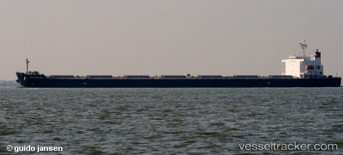
Find the position of the vessel Belgravia on the map. The latter are known coordinates and path.
marine traffic ship tracker show on live map
The current position of vessel Belgravia is 2.70303 lat / 101.163 lng. Updated: 2025-06-04 02:25:27 UTCPort of registry:
Majuro (capital of the Marshall Islands)Payload_mass:
169391 tonneGross tonnage:
89840Service entry:
2009-01-01T00:00:00ZManufacturer:
Daehan Shipbuilding (shipyard in South Korea)Details:
Last coordinates of the vessel:
UTC, 2.86447, 100.852, course: 127, speed: 9.2UTC, 2.84522, 100.881, course: 123, speed: 9.1
UTC, 2.76128, 101.051, course: 118, speed: 9
2025-06-04 02:25:27 UTC, 2.70303, 101.163, course: 121, speed: 9.6