 vesseltracker.com
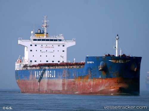
Vessel Globe Electra IMO: 9483827, MMSI: 538003822 Bulk Carrier
UTC, 20.83070, 86.96975, course: 195, speed: 0
UTC, 20.83068, 86.96978, course: 195, speed: 0
2026-01-29 06:24:49 UTC, 20.83070, 86.96977, course: 195, speed: 0
Live AIS position:
UTC. Near DHAMRA),
updated 2026-01-29 06:24:49 UTC.
Find the position of the vessel Globe Electra on the map. The latter are known coordinates and path.
marine traffic ship tracker show on live map
The current position of vessel Globe Electra is 20.83070 lat / 86.96977 lng. Updated: 2026-01-29 06:24:49 UTCCurrently sailing under the flag of Marshall Is
Globe Electra built in 2010 year
Deadweight:
80370 tDetails:
Last coordinates of the vessel:
UTC, 20.83070, 86.96977, course: 195, speed: 0UTC, 20.83070, 86.96975, course: 195, speed: 0
UTC, 20.83068, 86.96978, course: 195, speed: 0
2026-01-29 06:24:49 UTC, 20.83070, 86.96977, course: 195, speed: 0