 vesseltracker.com
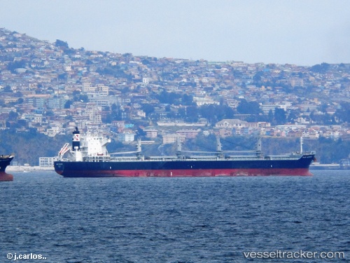
Vessel Mar Camino IMO: 9573892, MMSI: 538003890 Bulk Oil Carrier
UTC, -17.16173, -72.87545, course: 255, speed: 13.6
UTC, -17.22500, -73.15833, course: -1, speed: 13
2026-01-30 11:53:07 UTC, -17.35865, -73.74677, course: 256, speed: 13.7
Live AIS position:
UTC. 65 nm SW of La Planchada),
updated 2026-01-30 11:53:07 UTC.
Find the position of the vessel Mar Camino on the map. The latter are known coordinates and path.
marine traffic ship tracker show on live map
The current position of vessel Mar Camino is -17.35865 lat / -73.74677 lng. Updated: 2026-01-30 11:53:07 UTCDetails:
Last coordinates of the vessel:
UTC, -17.01333, -72.25500, course: -1, speed: 13UTC, -17.16173, -72.87545, course: 255, speed: 13.6
UTC, -17.22500, -73.15833, course: -1, speed: 13
2026-01-30 11:53:07 UTC, -17.35865, -73.74677, course: 256, speed: 13.7