 vesseltracker.com
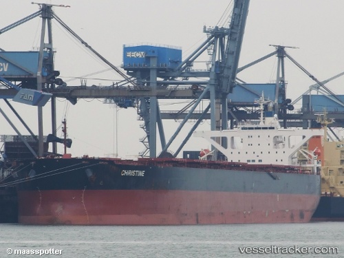
Vessel Star Martha IMO: 9564097, MMSI: 538003904 Bulk Carrier
UTC, 36.91500, 126.24167, course: -1, speed: 0
UTC, 36.91624, 126.24286, course: 66, speed: 0
2026-02-22 21:23:07 UTC, 36.91624, 126.24285, course: 66, speed: 0
Live AIS position:
UTC. Near TAEAN-GUN),
updated 2026-02-22 21:23:07 UTC.
Find the position of the vessel Star Martha on the map. The latter are known coordinates and path.
marine traffic ship tracker show on live map
The current position of vessel Star Martha is 36.91624 lat / 126.24285 lng. Updated: 2026-02-22 21:23:07 UTCDetails:
Last coordinates of the vessel:
UTC, 36.91500, 126.24167, course: -1, speed: 0UTC, 36.91500, 126.24167, course: -1, speed: 0
UTC, 36.91624, 126.24286, course: 66, speed: 0
2026-02-22 21:23:07 UTC, 36.91624, 126.24285, course: 66, speed: 0