 vesseltracker.com
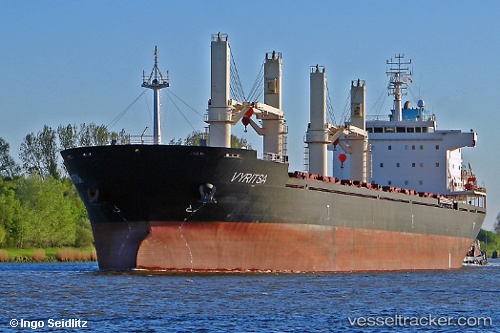
Vessel Argo B IMO: 9459371, MMSI: 538003906 Bulk Carrier
UTC, 55.90034, 10.93464, course: 39, speed: 11
UTC, 56.15254, 11.24019, course: 47, speed: 10.9
2026-03-11 17:33:55 UTC, 56.43075, 11.55833, course: 38, speed: 11.5
Live Vessel Argo B Analytics (details, animations, etc.)
Live AIS position: UTC. 21 nm E of Grena), updated 2026-03-11 17:33:55 UTC.Find the position of the vessel Argo B on the map. The latter are known coordinates and path.
marine traffic ship tracker show on live map
The current position of vessel Argo B is 56.43075 lat / 11.55833 lng. Updated: 2026-03-11 17:33:55 UTCCurrently sailing under the flag of Marshall Is
Argo B built in 2010 year
Deadweight:
35314 tDetails:
Last coordinates of the vessel:
UTC, 55.54450, 10.85565, course: 339, speed: 11.5UTC, 55.90034, 10.93464, course: 39, speed: 11
UTC, 56.15254, 11.24019, course: 47, speed: 10.9
2026-03-11 17:33:55 UTC, 56.43075, 11.55833, course: 38, speed: 11.5