Find the position of the vessel Gas Grouper on the map. The latter are known coordinates and path.
marine traffic ship tracker show on live map
The current position of vessel Gas Grouper is 9.69029 lat / 92.918 lng. Updated: 2025-03-31 11:23:52 UTC
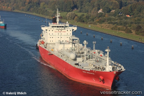
Currently sailing under the flag of Marshall Is
Gas Grouper built in 2009 year
Port of registry:
Majuro (capital of the Marshall Islands)Deadweight:
26416 tPayload_mass:
26416 tonneGross tonnage:
22978Service entry:
2009-01-01T00:00:00ZManufacturer:
Hyundai Heavy Industries (South Korean shipbuilding manufacturer)
Details:
Last coordinates of the vessel:
UTC, 9.25287, 93.597, course: 304, speed: 14.5UTC, 9.25287, 93.597, course: 304, speed: 14.5
UTC, 9.58603, 93.1165, course: 307, speed: 15.2
2025-03-31 11:23:52 UTC, 9.69029, 92.918, course: 292, speed: 14.4