 vesseltracker.com
Find the position of the vessel Red on the map. The latter are known coordinates and path.
marine traffic ship tracker show on live map
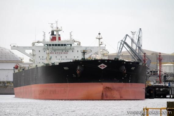
The current position of vessel Red is 35.6296 lat / -7.61763 lng. Updated: 2025-02-23 01:05:01 UTCCurrently sailing under the flag of Marshall Is
Red built in 2012 year
Port of registry:
Majuro (capital of the Marshall Islands)Deadweight:
159068 tPayload_mass:
159056 tonneGross tonnage:
81346Service entry:
2012-01-01T00:00:00ZManufacturer:
Hyundai Heavy Industries (South Korean shipbuilding manufacturer)
Details:
Last coordinates of the vessel:
UTC, 35.6839, -7.41583, course: 253, speed: 10.2UTC, 35.6839, -7.41583, course: 253, speed: 10.2
UTC, 35.6296, -7.61763, course: 252, speed: 11.1
2025-02-23 01:05:01 UTC, 35.6296, -7.61763, course: 252, speed: 11.1