 vesseltracker.com
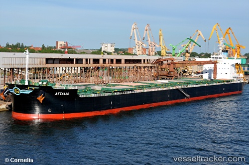
Vessel Attalia IMO: 9423360, MMSI: 538004092 Bulk Carrier
UTC, 45.37239, -9.12259, course: 210, speed: 13
UTC, 45.35167, -9.13667, course: -1, speed: 13
2026-01-19 10:10:35 UTC, 45.04833, -9.37833, course: -1, speed: 13
Live AIS position:
UTC. 95 nm N of Villanueva de Lorenzana),
updated 2026-01-19 10:10:35 UTC.
Find the position of the vessel Attalia on the map. The latter are known coordinates and path.
marine traffic ship tracker show on live map
The current position of vessel Attalia is 45.04833 lat / -9.37833 lng. Updated: 2026-01-19 10:10:35 UTCDetails:
Last coordinates of the vessel:
UTC, 45.68833, -8.79833, course: -1, speed: 13UTC, 45.37239, -9.12259, course: 210, speed: 13
UTC, 45.35167, -9.13667, course: -1, speed: 13
2026-01-19 10:10:35 UTC, 45.04833, -9.37833, course: -1, speed: 13