 vesseltracker.com
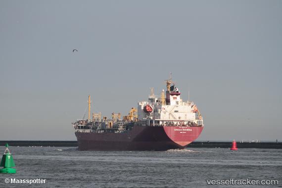
Vessel Stella Theresa IMO: 9594145, MMSI: 538004239 Chemical Oil Products Tanker
UTC, 51.60341, 2.15780, course: 218, speed: 7
UTC, 51.44898, 1.93392, course: 219, speed: 7
2026-01-15 02:55:31 UTC, 51.16555, 1.64429, course: 228, speed: 8.7
Live AIS position:
UTC. 12 nm E of Dover),
updated 2026-01-15 02:55:31 UTC.
Find the position of the vessel Stella Theresa on the map. The latter are known coordinates and path.
marine traffic ship tracker show on live map
The current position of vessel Stella Theresa is 51.16555 lat / 1.64429 lng. Updated: 2026-01-15 02:55:31 UTCCurrently sailing under the flag of Marshall Is
Stella Theresa built in 2011 year
Deadweight:
12601 tDetails:
Last coordinates of the vessel:
UTC, 51.80604, 2.47365, course: 219, speed: 5.5UTC, 51.60341, 2.15780, course: 218, speed: 7
UTC, 51.44898, 1.93392, course: 219, speed: 7
2026-01-15 02:55:31 UTC, 51.16555, 1.64429, course: 228, speed: 8.7