 vesseltracker.com
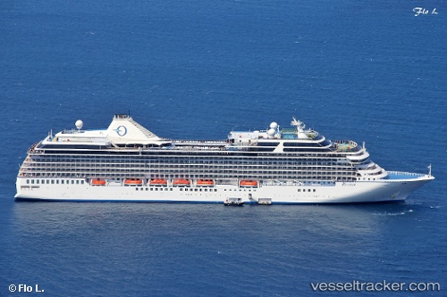
Vessel Riviera IMO: 9438078, MMSI: 538004353 Cruise Ship
UTC, -41.27047, 174.78764, course: 348, speed: 0
UTC, -41.35031, 174.84158, course: 203, speed: 10.3
2026-01-28 10:06:31 UTC, -42.28798, 174.20410, course: 214, speed: 14.3
Live AIS position:
UTC. 24 nm E of Kaikoura),
updated 2026-01-28 10:06:31 UTC.
Find the position of the vessel Riviera on the map. The latter are known coordinates and path.
marine traffic ship tracker show on live map
The current position of vessel Riviera is -42.28798 lat / 174.20410 lng. Updated: 2026-01-28 10:06:31 UTCCurrently sailing under the flag of Marshall Is
Riviera built in 2012 year
Deadweight:
7662 tDetails:
Last coordinates of the vessel:
UTC, -41.27048, 174.78766, course: 348, speed: 0UTC, -41.27047, 174.78764, course: 348, speed: 0
UTC, -41.35031, 174.84158, course: 203, speed: 10.3
2026-01-28 10:06:31 UTC, -42.28798, 174.20410, course: 214, speed: 14.3