 vesseltracker.com
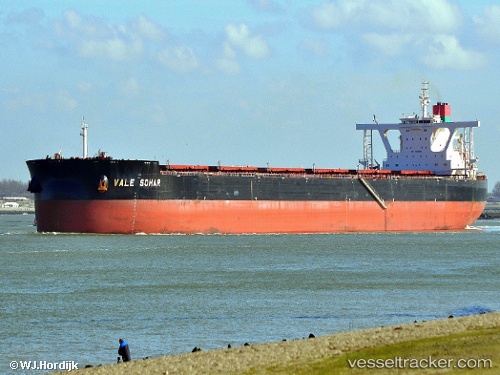
Vessel Sohar Max IMO: 9565065, MMSI: 538004888 Ore Carrier
UTC, 35.57701, 119.79155, course: 236, speed: 0
UTC, 35.57703, 119.79152, course: 236, speed: 0
2026-03-11 18:22:25 UTC, 35.57701, 119.79153, course: 236, speed: 0
Live Vessel Sohar Max Analytics (details, animations, etc.)
Live AIS position: UTC. Near DONGJIAKOU), updated 2026-03-11 18:22:25 UTC.Find the position of the vessel Sohar Max on the map. The latter are known coordinates and path.
marine traffic ship tracker show on live map
The current position of vessel Sohar Max is 35.57701 lat / 119.79153 lng. Updated: 2026-03-11 18:22:25 UTCDetails:
Last coordinates of the vessel:
UTC, 35.57700, 119.79153, course: 236, speed: 0UTC, 35.57701, 119.79155, course: 236, speed: 0
UTC, 35.57703, 119.79152, course: 236, speed: 0
2026-03-11 18:22:25 UTC, 35.57701, 119.79153, course: 236, speed: 0