 vesseltracker.com
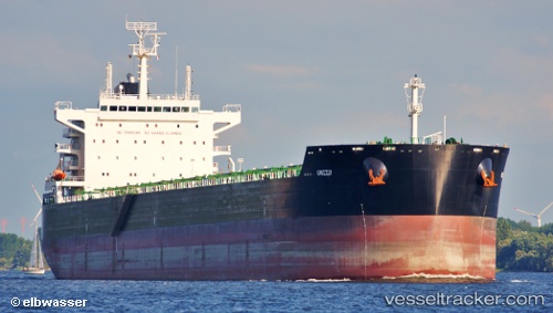
Vessel Grizzly IMO: 9659232, MMSI: 538004966 Bulk Carrier
UTC, -25.50171, -48.52614, course: 95, speed: 0
UTC, -25.50167, -48.52500, course: -1, speed: 0
2026-03-19 09:46:44 UTC, -25.50169, -48.52616, course: 95, speed: 0
Live Vessel Grizzly Analytics (details, animations, etc.)
Live AIS position: UTC. Near Paranagua), updated 2026-03-19 09:46:44 UTC.Find the position of the vessel Grizzly on the map. The latter are known coordinates and path.
marine traffic ship tracker show on live map
The current position of vessel Grizzly is -25.50169 lat / -48.52616 lng. Updated: 2026-03-19 09:46:44 UTCDetails:
Last coordinates of the vessel:
UTC, -25.50172, -48.52615, course: 95, speed: 0UTC, -25.50171, -48.52614, course: 95, speed: 0
UTC, -25.50167, -48.52500, course: -1, speed: 0
2026-03-19 09:46:44 UTC, -25.50169, -48.52616, course: 95, speed: 0