 vesseltracker.com
Find the position of the vessel Lng Golar Tundra on the map. The latter are known coordinates and path.
marine traffic ship tracker show on live map
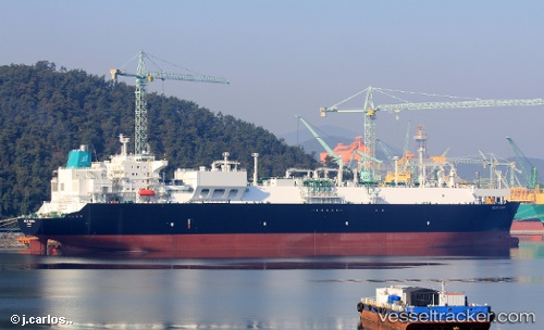
The current position of vessel Lng Golar Tundra is -9.37334 lat / 123.211 lng. Updated: 2024-08-11 13:00:36 UTCPort of registry:
Livorno (city in Italy, Central Italy)Payload_mass:
87159 tonneGross tonnage:
106806Service entry:
2015-01-01T00:00:00ZManufacturer:
Samsung Heavy Industries (South Korean shipbuilding company)Details:
Last coordinates of the vessel:
2024-08-11 13:00:36 UTC, -9.37334, 123.211, course: 64, speed: 12.2