 vesseltracker.com
Find the position of the vessel Marjorie K on the map. The latter are known coordinates and path.
marine traffic ship tracker show on live map
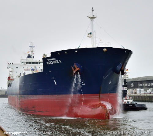
The current position of vessel Marjorie K is 24.27302 lat / 120.51512 lng. Updated: 2025-09-30 17:53:19 UTCCurrently sailing under the flag of Marshall Is
Marjorie K built in 2013 year
Deadweight:
49995 tDetails:
Last coordinates of the vessel:
UTC, 24.27302, 120.51512, course: 200, speed: 0UTC, 24.27302, 120.51512, course: 200, speed: 0
UTC, 24.27302, 120.51512, course: 200, speed: 0
UTC, 24.27302, 120.51512, course: 200, speed: 0
UTC, 24.27302, 120.51512, course: 200, speed: 0
2025-09-30 17:53:19 UTC, 24.27302, 120.51512, course: 200, speed: 0