 vesseltracker.com
Find the position of the vessel Lubara on the map. The latter are known coordinates and path.
marine traffic ship tracker show on live map
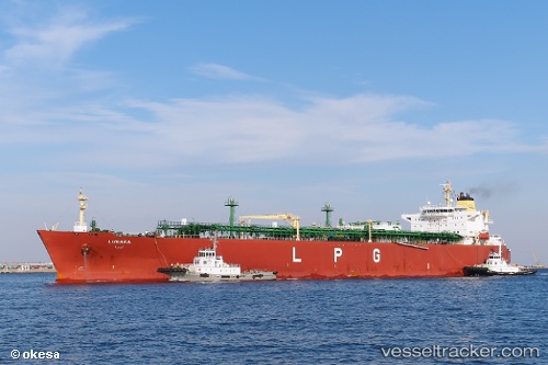
The current position of vessel Lubara is 57.6842 lat / -4.17154 lng. Updated: 2025-06-10 22:29:10 UTCCurrently sailing under the flag of Marshall Is
Lubara built in 2009 year
Deadweight:
54526 tPayload_mass:
54526 tonneGross tonnage:
47058Service entry:
2009-01-01T00:00:00ZDetails:
Last coordinates of the vessel:
2025-06-10 22:29:10 UTC, 57.6842, -4.17154, course: 227, speed: 0