 vesseltracker.com
Find the position of the vessel Ridgebury Rosemary E on the map. The latter are known coordinates and path.
marine traffic ship tracker show on live map
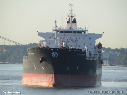
The current position of vessel Ridgebury Rosemary E is 29.74192 lat / -95.20028 lng. Updated: 2025-11-11 08:53:04 UTCCurrently sailing under the flag of Marshall Is
Ridgebury Rosemary E built in 2009 year
Deadweight:
50261 tDetails:
Last coordinates of the vessel:
UTC, 29.74190, -95.20025, course: 75, speed: 0UTC, 29.74188, -95.20022, course: 75, speed: 0
UTC, 29.74175, -95.20030, course: 75, speed: 0
2025-11-11 08:53:04 UTC, 29.74192, -95.20028, course: 75, speed: 0