 vesseltracker.com
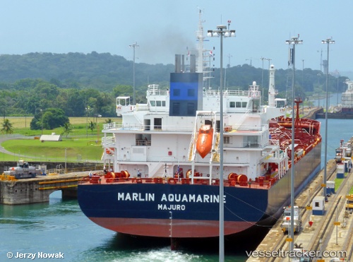
Find the position of the vessel Marlin Aquamarine on the map. The latter are known coordinates and path.
marine traffic ship tracker show on live map
The current position of vessel Marlin Aquamarine is 6.4544933333333 lat / 3.3720383333333 lng. Updated: 2025-10-29 00:34:28 UTCCurrently sailing under the flag of Marshall Is
Details:
Last coordinates of the vessel:
UTC, 6.4544866666667, 3.37211, course: 350, speed: 0UTC, 6.4544983333333, 3.3721, course: 350, speed: 0
UTC, 6.4545283333333, 3.3721333333333, course: 350, speed: 0
2025-10-29 00:34:28 UTC, 6.4544933333333, 3.3720383333333, course: 350, speed: 0