 vesseltracker.com
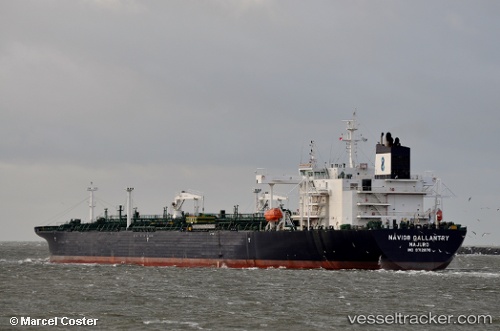
Vessel Sti Gallantry IMO: 9712876, MMSI: 538005820 Crude Oil Tanker
UTC, 28.88332, 48.56428, course: 91, speed: 12.9
UTC, 28.88293, 49.00091, course: 85, speed: 11.5
2026-01-28 04:01:44 UTC, 28.81732, 49.54740, course: 120, speed: 13.2
Live AIS position:
UTC. 14 nm S of Soroosh (Cyrus) Terminal),
updated 2026-01-28 04:01:44 UTC.
Find the position of the vessel Sti Gallantry on the map. The latter are known coordinates and path.
marine traffic ship tracker show on live map
The current position of vessel Sti Gallantry is 28.81732 lat / 49.54740 lng. Updated: 2026-01-28 04:01:44 UTCCurrently sailing under the flag of Marshall Is
Details:
Last coordinates of the vessel:
UTC, 28.97726, 48.39825, course: 117, speed: 11.8UTC, 28.88332, 48.56428, course: 91, speed: 12.9
UTC, 28.88293, 49.00091, course: 85, speed: 11.5
2026-01-28 04:01:44 UTC, 28.81732, 49.54740, course: 120, speed: 13.2