 vesseltracker.com
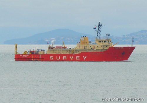
Live AIS position:
3.70667° S, 38.47333° W UTC. Near Fortaleza),
updated 2025-11-23 02:36:06 UTC.
Find the position of the vessel Geo Resolution on the map. The latter are known coordinates and path.
marine traffic ship tracker show on live map
The current position of vessel Geo Resolution is -3.70667 lat / -38.47333 lng. Updated: 2025-11-23 02:36:06 UTCDetails:
Last coordinates of the vessel:
UTC, -3.70806, -38.47389, course: 200, speed: 0.1UTC, -3.70667, -38.47333, course: -1, speed: 0
UTC, -3.70806, -38.47385, course: 200, speed: 0.5
2025-11-23 02:36:06 UTC, -3.70667, -38.47333, course: -1, speed: 0