 vesseltracker.com
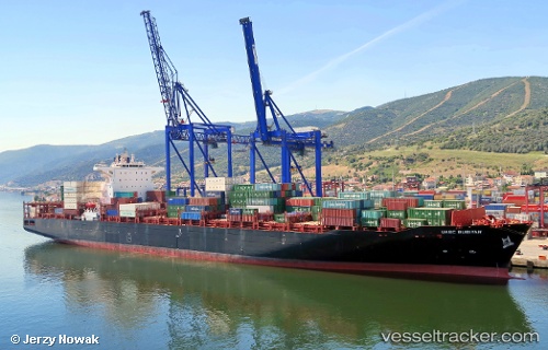
Vessel Alexis IMO: 9686900, MMSI: 538005958 Container Ship
UTC, 35.86259, -5.54014, course: 40, speed: 0
UTC, 35.86258, -5.54024, course: 40, speed: 0
2026-02-18 06:17:13 UTC, 35.86262, -5.54010, course: 40, speed: 0
Live AIS position:
UTC. Near Ksar es Sghir),
updated 2026-02-18 06:17:13 UTC.
Find the position of the vessel Alexis on the map. The latter are known coordinates and path.
marine traffic ship tracker show on live map
The current position of vessel Alexis is 35.86262 lat / -5.54010 lng. Updated: 2026-02-18 06:17:13 UTCDetails:
Last coordinates of the vessel:
UTC, 35.86269, -5.54014, course: 40, speed: 0UTC, 35.86259, -5.54014, course: 40, speed: 0
UTC, 35.86258, -5.54024, course: 40, speed: 0
2026-02-18 06:17:13 UTC, 35.86262, -5.54010, course: 40, speed: 0