 vesseltracker.com
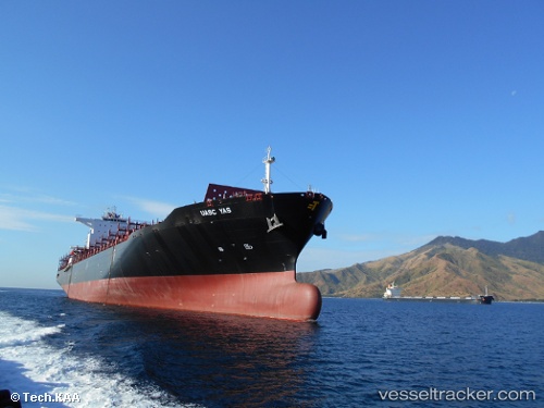
Vessel Olivia I IMO: 9686912, MMSI: 538005959 Container Ship
UTC, 29.68200, -94.99563, course: 80, speed: 0
UTC, 29.68191, -94.99552, course: 79, speed: 0
2026-01-28 17:46:42 UTC, 29.68189, -94.99555, course: 80, speed: 0
Live AIS position:
UTC. Near Morgan Point),
updated 2026-01-28 17:46:42 UTC.
Find the position of the vessel Olivia I on the map. The latter are known coordinates and path.
marine traffic ship tracker show on live map
The current position of vessel Olivia I is 29.68189 lat / -94.99555 lng. Updated: 2026-01-28 17:46:42 UTCDetails:
Last coordinates of the vessel:
UTC, 29.68167, -94.99500, course: -1, speed: 0UTC, 29.68200, -94.99563, course: 80, speed: 0
UTC, 29.68191, -94.99552, course: 79, speed: 0
2026-01-28 17:46:42 UTC, 29.68189, -94.99555, course: 80, speed: 0