 vesseltracker.com
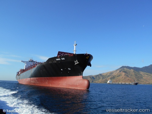
Find the position of the vessel Olivia I on the map. The latter are known coordinates and path.
marine traffic ship tracker show on live map
The current position of vessel Olivia I is -30.5798 lat / 14.4733 lng. Updated: 2024-04-28 19:04:52 UTCPort of registry:
Majuro (coral atoll, capital of the Marshall Islands)Payload_mass:
79329.1 tonneGross tonnage:
70704Service entry:
2015-01-01T00:00:00ZManufacturer:
HHIC Phil (shipyard in the Philippines)
Details:
Last coordinates of the vessel:
UTC, -29.5643, 13.5809, course: 142, speed: 18UTC, -29.8605, 13.8418, course: 141, speed: 17.8
UTC, -30.1745, 14.1293, course: 143, speed: 18.1
2024-04-28 19:04:52 UTC, -30.5798, 14.4733, course: 146, speed: 17.9