 vesseltracker.com
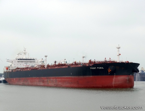
Find the position of the vessel SFL PUMA on the map. The latter are known coordinates and path.
marine traffic ship tracker show on live map
The current position of vessel SFL PUMA is 41.3218 lat / 2.21064 lng. Updated: 2024-05-01 09:44:31 UTCCurrently sailing under the flag of Marshall Islands
SFL PUMA built in 2015 year
Deadweight:
99993 tDetails:
Last coordinates of the vessel:
UTC, 41.3195, 2.2103, course: 62, speed: 0UTC, 41.3196, 2.2103, course: 64, speed: 0
UTC, 41.3216, 2.21043, course: 127, speed: 0
2024-05-01 09:44:31 UTC, 41.3218, 2.21064, course: 133, speed: 0