 vesseltracker.com
Find the position of the vessel Sti Alexis on the map. The latter are known coordinates and path.
marine traffic ship tracker show on live map
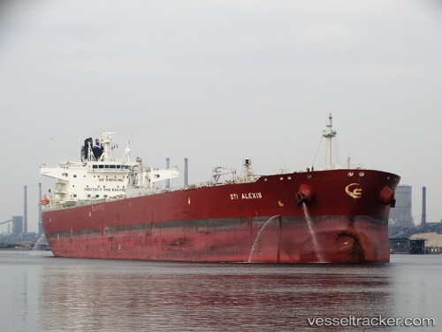
The current position of vessel Sti Alexis is 50.0347 lat / -4.55208 lng. Updated: 2024-05-05 03:34:40 UTCPort of registry:
Majuro (coral atoll, capital of the Marshall Islands)Payload_mass:
109999 tonneGross tonnage:
62684Service entry:
2015-01-01T00:00:00ZManufacturer:
Hanwha Ocean (shipbuilder of South Korea)Details:
Last coordinates of the vessel:
UTC, 50.0347, -4.55284, course: 181, speed: 0.2UTC, 50.0346, -4.55143, course: 206, speed: 0.2
UTC, 50.0347, -4.55152, course: 198, speed: 0.2
2024-05-05 03:34:40 UTC, 50.0347, -4.55208, course: 189, speed: 0.1