 vesseltracker.com
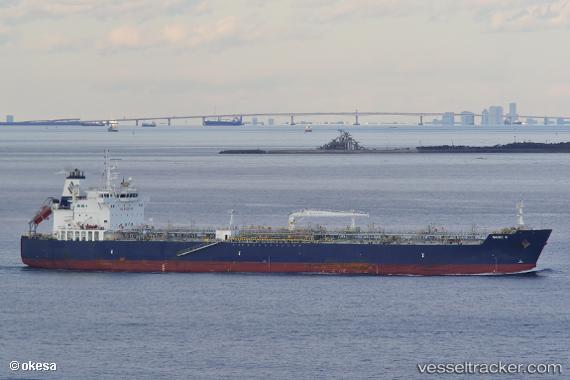
Find the position of the vessel Marie S on the map. The latter are known coordinates and path.
marine traffic ship tracker show on live map
The current position of vessel Marie S is 50.2249 lat / -0.719462 lng. Updated: 2024-04-06 00:42:22 UTCCurrently sailing under the flag of Marshall Is
Speed:
14.5 knotGross tonnage:
29225Service entry:
2016-01-01T00:00:00ZDetails:
Last coordinates of the vessel:
2024-04-06 00:42:22 UTC, 50.2249, -0.719462, course: 74, speed: 17.4