 vesseltracker.com
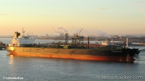
Vessel Sti Savile Row IMO: 9708552, MMSI: 538006074 Crude Oil Tanker
UTC, 25.24647, 56.49773, course: 163, speed: 0
UTC, 25.24656, 56.49814, course: 179, speed: 0
2026-02-07 23:25:53 UTC, 25.24643, 56.49784, course: 168, speed: 0
Live AIS position:
UTC. Near Fujairah),
updated 2026-02-07 23:25:53 UTC.
Find the position of the vessel Sti Savile Row on the map. The latter are known coordinates and path.
marine traffic ship tracker show on live map
The current position of vessel Sti Savile Row is 25.24643 lat / 56.49784 lng. Updated: 2026-02-07 23:25:53 UTCDetails:
Last coordinates of the vessel:
UTC, 25.24622, 56.49731, course: 156, speed: 0UTC, 25.24647, 56.49773, course: 163, speed: 0
UTC, 25.24656, 56.49814, course: 179, speed: 0
2026-02-07 23:25:53 UTC, 25.24643, 56.49784, course: 168, speed: 0