 vesseltracker.com
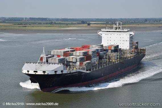
Find the position of the vessel Seamax Stamford on the map. The latter are known coordinates and path.
marine traffic ship tracker show on live map
The current position of vessel Seamax Stamford is 28.6114 lat / -89.594 lng. Updated: 2025-03-21 00:33:02 UTCCurrently sailing under the flag of Marshall Is
Port of registry:
Majuro (capital of the Marshall Islands)Gross tonnage:
47911Operator:
Anglo-Eastern Ship ManagementService entry:
2015-01-01T00:00:00ZDetails:
Last coordinates of the vessel:
2025-03-21 00:33:02 UTC, 28.6114, -89.594, course: 85, speed: 0.2