 vesseltracker.com
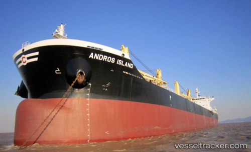
Vessel Andros Island IMO: 9720304, MMSI: 538006205 Bulk Carrier
UTC, 35.58158, 140.04871, course: 238, speed: 5.4
UTC, 35.56746, 139.99911, course: 291, speed: 0.2
2026-01-29 05:36:13 UTC, 35.56648, 139.99767, course: 351, speed: 0.2
Live AIS position:
UTC. Near ANEGASAKI),
updated 2026-01-29 05:36:13 UTC.
Find the position of the vessel Andros Island on the map. The latter are known coordinates and path.
marine traffic ship tracker show on live map
The current position of vessel Andros Island is 35.56648 lat / 139.99767 lng. Updated: 2026-01-29 05:36:13 UTCDetails:
Last coordinates of the vessel:
UTC, 35.60645, 140.08276, course: 320, speed: 0UTC, 35.58158, 140.04871, course: 238, speed: 5.4
UTC, 35.56746, 139.99911, course: 291, speed: 0.2
2026-01-29 05:36:13 UTC, 35.56648, 139.99767, course: 351, speed: 0.2