Find the position of the vessel Centurius on the map. The latter are known coordinates and path.
marine traffic ship tracker show on live map
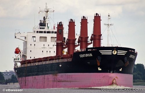
Currently sailing under the flag of Marshall Is
Details:
 vesseltracker.com
Find the position of the vessel Centurius on the map. The latter are known coordinates and path.
marine traffic ship tracker show on live map
Currently sailing under the flag of Marshall Is